Road Trip West 2, New Mexico
Richard Rathe, April 2026 (Flowers, History, Rock_Art)
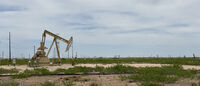
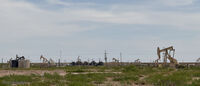
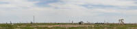
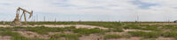
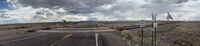
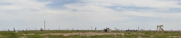
The next day I moved on to eastern New Mexico and a huge area of oil and gas production. At one intersection there were pumpjacks as far as the eye could see!
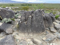
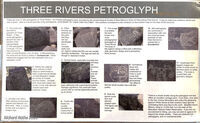
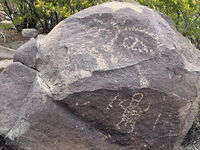
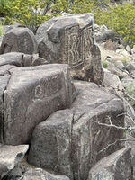
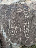
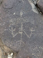
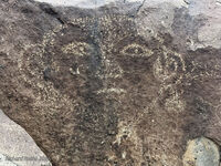
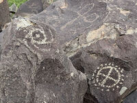
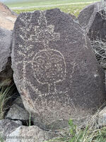
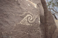
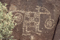
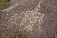
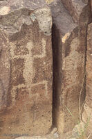
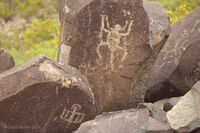
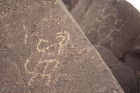
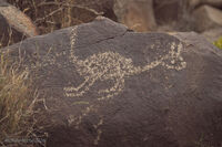
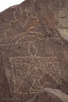
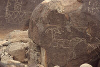
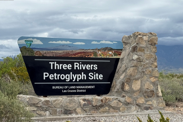
I ended up at the Three Rivers Petroglyph Site and campground maintained by the BLM.
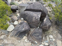
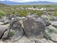
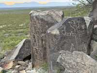
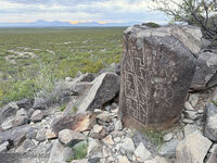
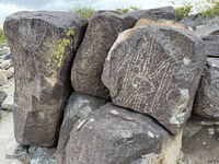
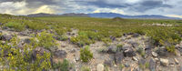
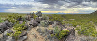
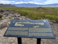
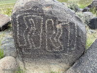
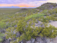
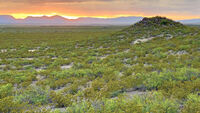
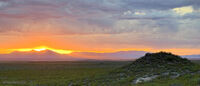
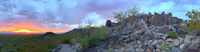
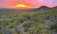
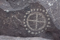
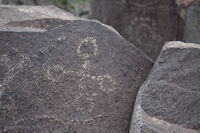
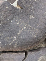
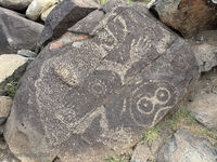
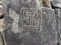
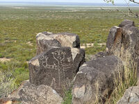
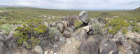
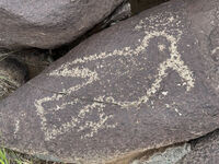
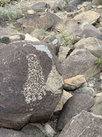
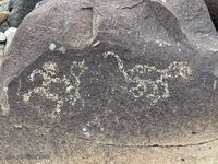
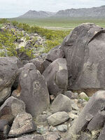
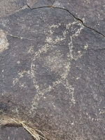
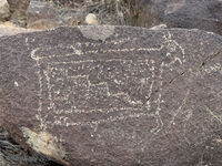
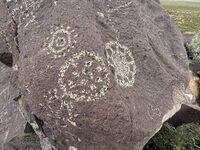
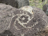
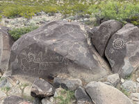
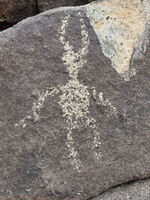
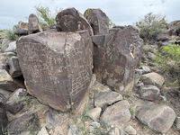
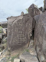
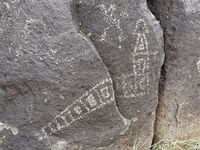
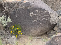
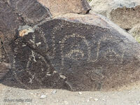
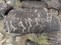
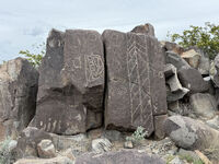
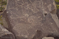
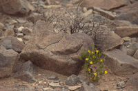
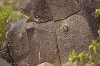
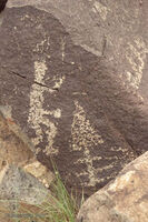
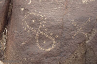
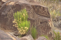
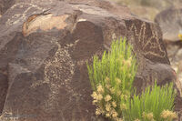
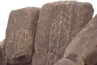
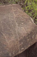
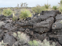
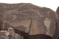
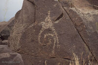
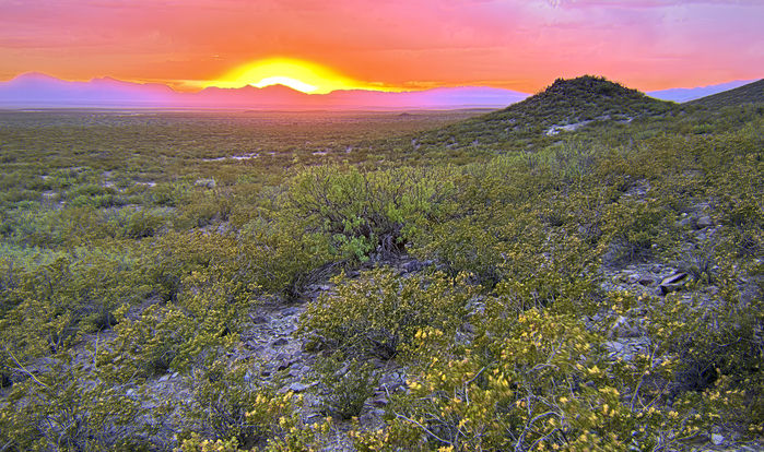
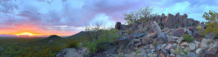
I established my campsite and went for a walk about an hour before sunset. It was a magical time to be out in the desert. Some of the rocks are volcanic in origin. I think that may be a cinder cone in the distance. There is a large abstract petroglyph on the right (click to enlarge).
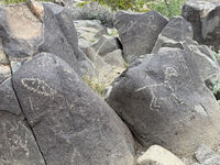
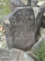
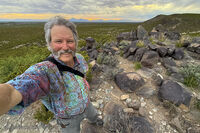
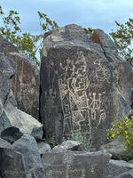
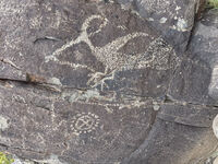
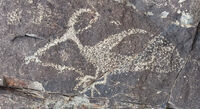
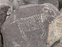
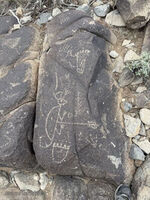
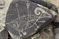
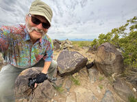
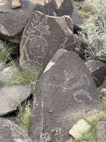
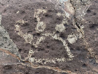
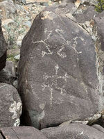
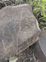
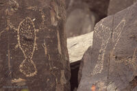
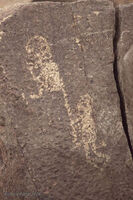
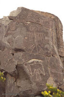
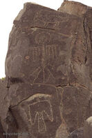
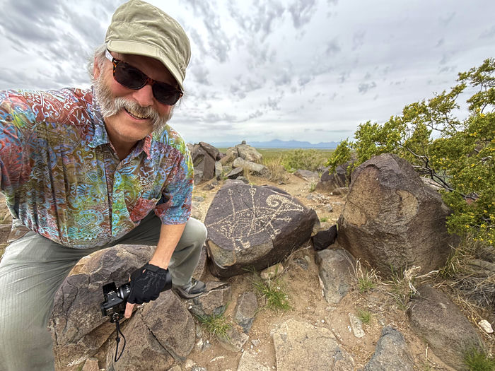
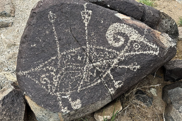
Here I am with the most famous panel at the site that does not leave much to the imagination—a big-horn sheep with multiple arrows sticking into it. Hunting success was a big priority!
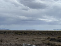
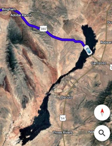
The next morning I had a pleasant surprise. As I drove north I could see a large black lake
off to the west. It was very odd looking and showed up black on the navigation map.
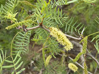
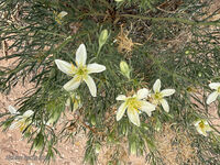
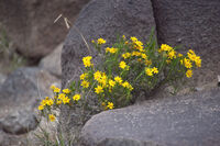
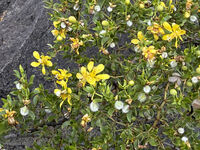
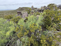
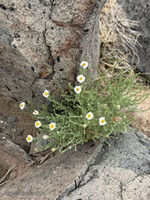
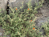
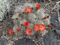
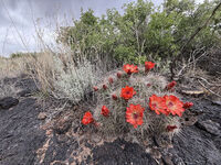
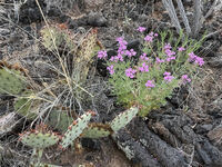
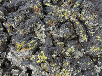
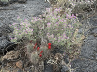
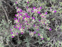
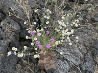
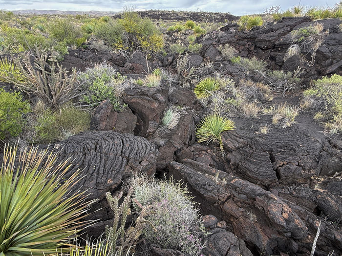
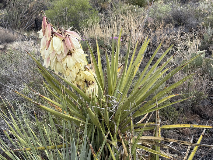
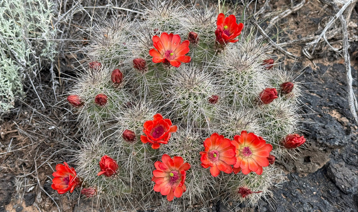
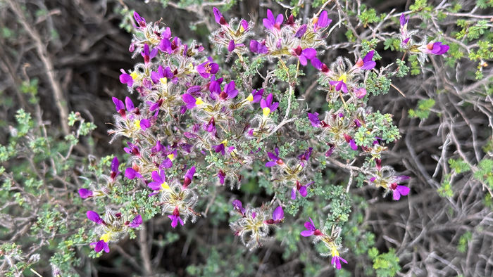
It turned out to be an old lava flow or Malpaís. And it was in bloom. 🙂
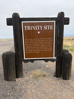
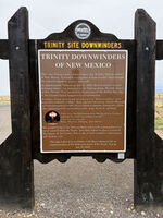
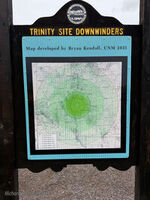
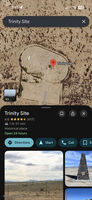
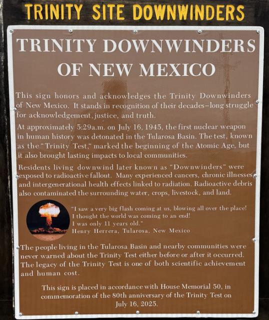
My route west passed two recent historical areas. The first of these was the site of the first atomic bomb, called Trinity. I tried to drive to the site itself but came to a military-style fence, so I had to turn around. This sign tells the story of the Downwinders
—the inevitable but untold history of the first victims of radioactive fallout.
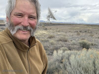
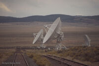
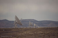
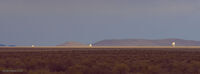
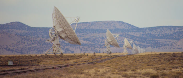
The second was a place I had visited in the past—the Very Large Array of radiotelescopes or VLA. The device spans several miles with a Y-shaped array of double railroad tracks. The tracks are used to position individual radio telescopes into specific configurations. The data from these instruments is then combined to give a much better picture of the universe.
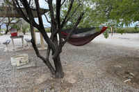
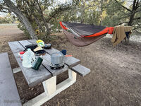
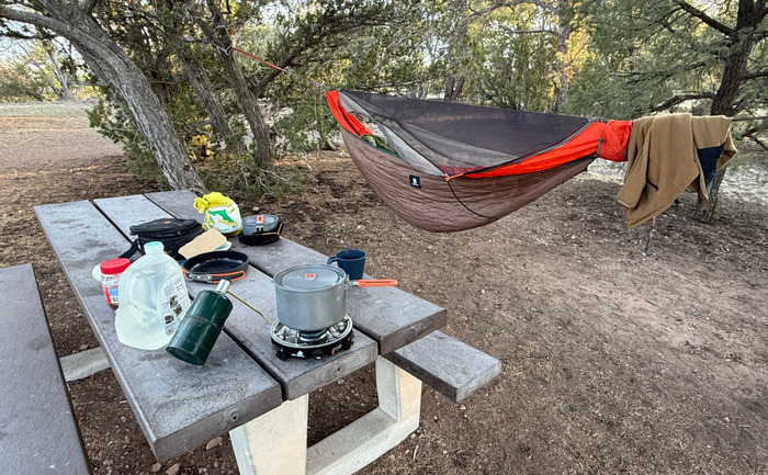
At the end of the day I found another nice BLM campground and cooked a hot meal.
(click any image to view or advance)